Whiteface Reservoir
39 mi north · USDA Forest Service
Whiteface Reservoir Campground offers an ideal getaway for anglers, boaters and families.
Outdoors
Campgrounds and camping areas near Duluth on federal land, with which ones take reservations on Recreation.gov.
Good to know: Popular campgrounds book up months ahead on Recreation.gov; first-come sites fill early on weekends and holidays.
39 mi north · USDA Forest Service
Whiteface Reservoir Campground offers an ideal getaway for anglers, boaters and families.
43 mi north · USDA Forest Service
Cadotte Lake Campground lines the western shore of Cadotte Lake in Superior National Forest. A boat ramp and fishing dock make the campground convenient for anglers, and the sandy swimming beach is popular among families.
48 mi southeast · USDA Forest Service
This quaint campground is a family favorite. Located approximately 5.5 miles north of Drummond on Forest Road 223 (Delta Drummond Road), there are 16 campsites. Each site includes a defined parking spur, fire ring and picnic table.
Map of 30 places loads as you scroll.
Whiteface Reservoir Campground offers an ideal getaway for anglers, boaters and families.
Cadotte Lake Campground lines the western shore of Cadotte Lake in Superior National Forest. A boat ramp and fishing dock make the campground convenient for anglers, and the sandy swimming beach is popular among families.
This quaint campground is a family favorite. Located approximately 5.5 miles north of Drummond on Forest Road 223 (Delta Drummond Road), there are 16 campsites. Each site includes a defined parking spur, fire ring and picnic table.
The Headwaters Lakes Project is located in Minnesota?s lake country. Campfires and sunsets and the peacefulness of the water make each day a special event.
Two Lakes Campground is nestled between Lake Owen and Bass Lake. Campsites are spacious and shaded by pine and mixed hardwoods, and most sites offer sweeping lake views.
The Sandy Lake Dam and Recreation Area is situated at the outlet of Big Sandy Lake in northern Minnesota, 13 miles north of McGregor, MN.
Namekagon campground is a family-friendly campground that runs alongside its namesake lake, at the headwaters of the Namekagon River.
McDougal Lake Campground provides easy access to a wide variety of recreational activities including hiking, boating, fishing, picnicking and swimming within the central part of Superior National Forest.
Beaver Lake Campground is a small, secluded, family-friendly campground located on the shores of its namesake lake.
Little Isabella River Campground is a small, secluded campground in a grove of red and white pines in the central part of Superior National Forest, just 4.5 miles west of Isabella, Minnesota.
Pfeiffer Lake Campground, located adjacent to it's namesake lake, is a small, peaceful and scenic facility in the Superior National Forest of Minnesota.
Birch Lake Campground is located in Superior National Forest near the Boundary Waters Canoe Area Wilderness, about 13 miles from Ely, Minnesota.
Unplug and reconnect to the largest expanse of public lands under one ownership in northern Wisconsin.
Come to the North Country. Trek the hills and valleys. Stand on the shores of lakes & streams from glaciers 10,000 years before.
Apostle Islands National Lakeshore, located at the northern tip of Wisconsin's Bayfield Peninsula, features 21 stunning islands, a scenic 12-mile shoreline along Lake Superior, and is located within the ancestral homeland of the Ojibwe…
Day Lake Campground is situated in northwestern Wisconsin, not far from the shores of Lake Superior. The spacious and peaceful Day Lake offers a family-friendly campground with swimming beaches, a boat launch and picnic area.
Located on a sparkling 110-acre lake, the East Twin Campground is a known family favorite. The area provides access to a beautiful portion of the Chequamegon National Forest in northwestern Wisconsin.
South Kawishiwi River Campground is located in Superior National Forest near the Boundary Waters Canoe Area Wilderness, about 10 miles from Ely, Minnesota.
Ninemile Lake Campground is perfect for people wanting to do some exploring while camping. A boat ramp leads to Ninemile Lake, complete with islands and hidden bays.
Grab your paddle and your longing for adventure and head to the St. Croix and Namekagon rivers! Together they form the St.
Introduction Welcome to your public lands! Lake Vermilion is one of the largest lakes in Minnesota, with over 40,000 surface acres, 1200 miles of shoreline, and 365 islands.
You will find something unique about a vacation in Minnesota's lake country. The six unique lakes, Gull Lake, the Whitefish Chain (Cross Lake), Big Sandy Lake, Pokegama Lake, Leech Lake, and Lake Winnibigoshish, are roughly bounded by a…
Voyageurs National Park spans 218,000 acres of lakes, forests, and streams in northern Minnesota. Established in 1975, the park is named after the French-Canadian Voyageurs who once navigated these abundant waters.
The Main Day Use Areas is located in a scenic area with steep hills, valleys, bluffs, streams and lakes. Highland Ridge Campground is located in a heavily wooded area approximately 4 miles south of I-94.
Distances are straight-line miles from the center of Duluth. Listings come from Recreation.gov’s federal recreation database; check each official page for hours, fees, fire restrictions and closures before you go.

A DRIVE AROUND TOWN
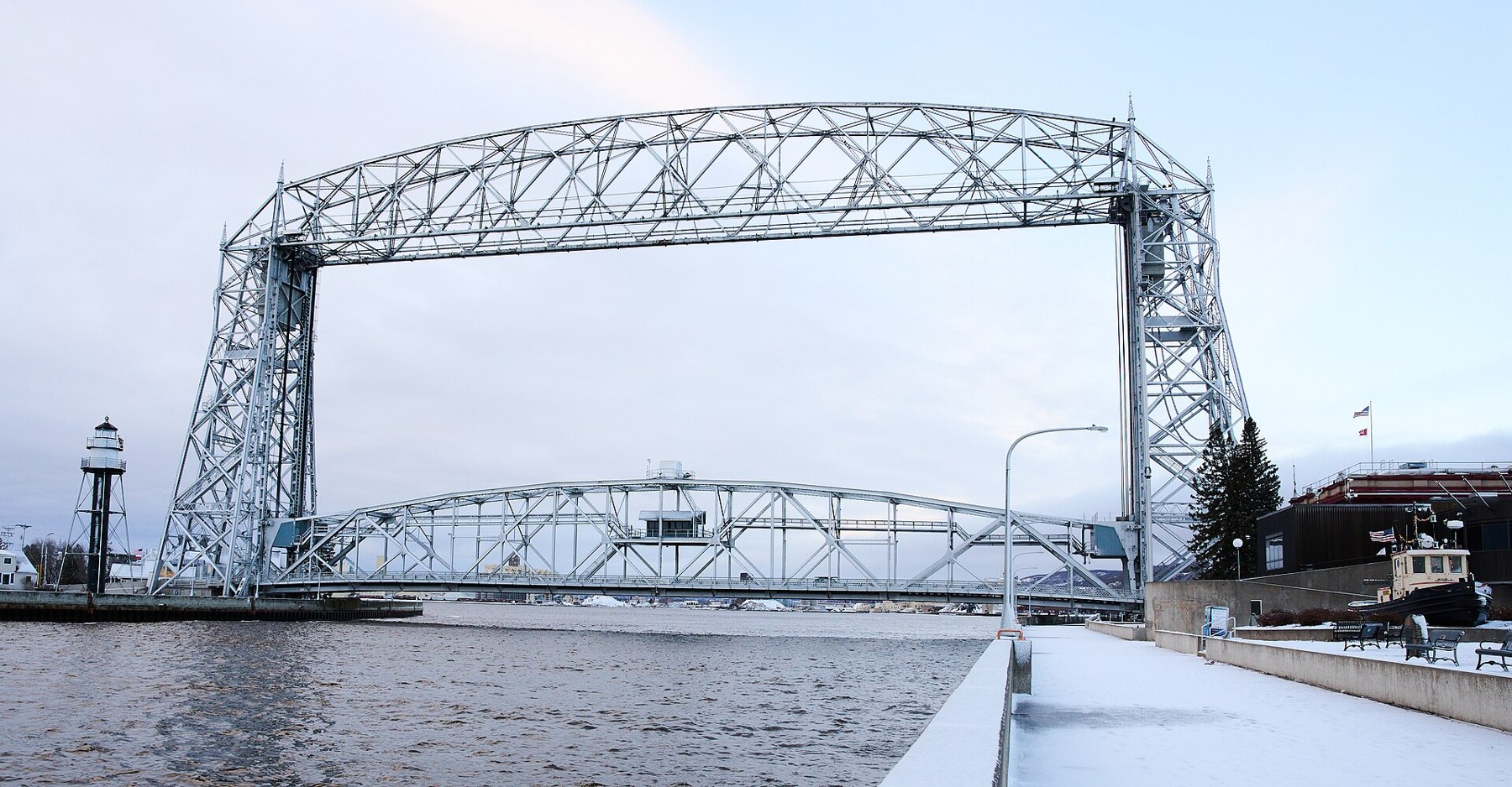
Duluth, Minnesota - A Driving Tour [4K].
Watch on YouTube ↗Whiteface Reservoir (USDA Forest Service), about 39 miles north of Duluth as the crow flies. Next are Cadotte Lake (43 mi) and Perch Lake Recreation Area (48 mi).
Based on Duluth’s average highs, May–October. Conditions at higher elevations can be much cooler.
14 of the 30 places listed here take reservations on Recreation.gov; others are first come, first served.
Federal agencies including USDA Forest Service, US Army Corps of Engineers, National Park Service. Each listing links to its official page for hours, fees, closures and current conditions.