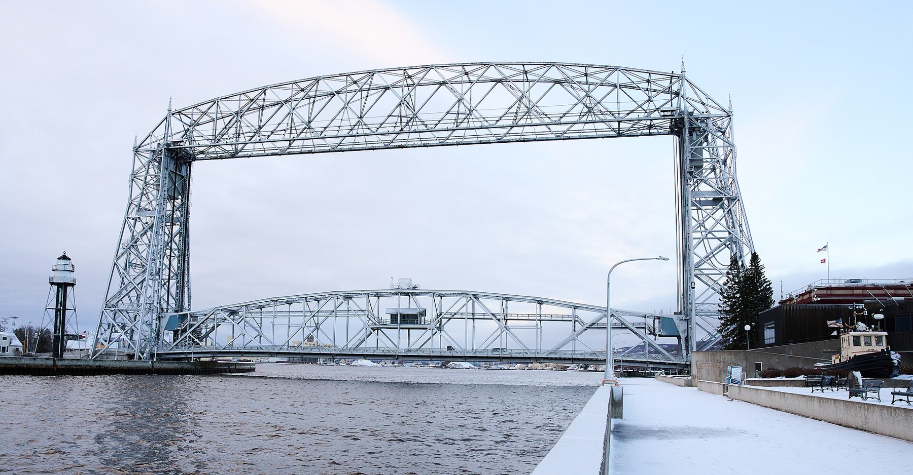
Duluth Aerial Lift Bridge viewed from Canal Park (2023-12-31 08:16:03)

Outdoors

Snow play and winter sports near Duluth

Places near Duluth for sledding, snowshoeing, cross-country skiing and winter sports when there’s snow.

9places for snow and winter sports
57 mito the closest

Good to know: Carry tire chains in winter, check road and avalanche conditions, and expect parking or Sno-Park permits at popular spots.

Closest picks

1

Rice Lake National Wildlife Refuge

57 mi west · Fish and Wildlife Service

Rice Lake National Wildlife Refuge is located in Aitkin County in east central Minnesota, about five miles south of the community of McGregor. It was established in 1935 to preserve valuable habitat for waterfowl.

2

Whittlesey Creek National Wildlife Refuge

57 mi east · Fish and Wildlife Service

Whittlesey Creek National Wildlife Refuge is part of a large coastal wetland complex on the south shore of Lake Superior near Ashland, Wisconsin.

3

Lake Vermilion Public Islands

76 mi north · Bureau of Land Management

Introduction Welcome to your public lands! Lake Vermilion is one of the largest lakes in Minnesota, with over 40,000 surface acres, 1200 miles of shoreline, and 365 islands.

Map of all 9 places

Map of 9 places loads as you scroll.

30 to 75 miles (2)

57 mi west · Fish and Wildlife Service

Rice Lake National Wildlife Refuge

Rice Lake National Wildlife Refuge is located in Aitkin County in east central Minnesota, about five miles south of the community of McGregor. It was established in 1935 to preserve valuable habitat for waterfowl.

  • Archery
  • Biking
  • Birding
  • Boating
  • Cross Country Skiing
  • Fishing
  • Hiking
  • Hunting

57 mi east · Fish and Wildlife Service

Whittlesey Creek National Wildlife Refuge

Whittlesey Creek National Wildlife Refuge is part of a large coastal wetland complex on the south shore of Lake Superior near Ashland, Wisconsin.

  • Birding
  • Cross Country Skiing
  • Fishing
  • Hiking
  • Hunting
  • Non-Motorized Boating
  • Photography
  • Picnicking

75 miles and farther (7)

76 mi north · Bureau of Land Management

Lake Vermilion Public Islands

Introduction Welcome to your public lands! Lake Vermilion is one of the largest lakes in Minnesota, with over 40,000 surface acres, 1200 miles of shoreline, and 365 islands.

  • Birding
  • Boating
  • Camping
  • Fishing
  • Hunting
  • Picnicking
  • Stargazing
  • Swimming

82 mi northeast · USDA Forest Service

Superior National Forest

  • Biking
  • Boating
  • Camping
  • Fire Lookouts/Cabins Overnight
  • Fishing
  • Hiking
  • Picnicking
  • Recreational Vehicles

94 mi west · US Army Corps of Engineers

Mississippi River Headwaters - Cross Lake

You will find something unique about a vacation in Minnesota's lake country. The six unique lakes, Gull Lake, the Whitefish Chain (Cross Lake), Big Sandy Lake, Pokegama Lake, Leech Lake, and Lake Winnibigoshish, are roughly bounded by a…

  • Boating
  • Camping
  • Fishing
  • Hiking
  • History
  • Nature education
  • Picnicking
  • Water sports

101 mi northwest · US Army Corps of Engineers

Mississippi River Headwaters - Winnibigosh Lake

  • Boating
  • Camping
  • Fishing
  • Picnicking
  • Water sports
  • Winter sports

116 mi southwest · Fish and Wildlife Service

Crane Meadows National Wildlife Refuge

Crane Meadows National Wildlife Refuge was established in 1992 to protect one of the largest, most intact wetland complexes remaining in central Minnesota.

  • Archery
  • Birding
  • Cross Country Skiing
  • Hiking
  • Hunting
  • Motor Boat
  • Nature education
  • Non-Motorized Boating

116 mi southwest · Fish and Wildlife Service

Sherburne National Wildlife Refuge

Sherburne National Wildlife Refuge is located in Sherburne County, in east central Minnesota, about 50 miles northwest of the Minneapolis and St. Paul metropolitan area.

  • Archery
  • Biking
  • Birding
  • Boating
  • Cross Country Skiing
  • Educational Programs
  • Fishing
  • Hiking

117 mi south · Fish and Wildlife Service

St. Croix Wetland Management District

St. Croix Wetland Management District was established in 1992 for the purpose of providing wetland and grassland habitat for breeding waterfowl.

  • Birding
  • Boating
  • Cross Country Skiing
  • Fishing
  • Hiking
  • Hunting
  • Non-Motorized Boating
  • Photography

Distances are straight-line miles from the center of Duluth. Listings come from Recreation.gov’s federal recreation database; check each official page for hours, fees, fire restrictions and closures before you go.

Get outside around Duluth

More outdoors near Duluth

Questions

Where is the closest place for snow play near Duluth?

Rice Lake National Wildlife Refuge (Fish and Wildlife Service), about 57 miles west of Duluth as the crow flies. Next are Whittlesey Creek National Wildlife Refuge (57 mi) and Lake Vermilion Public Islands (76 mi).

Who manages these places?

Federal agencies including Fish and Wildlife Service, US Army Corps of Engineers, Bureau of Land Management. Each listing links to its official page for hours, fees, closures and current conditions.

Duluth AI

Your Duluth local guide
Hey there!

I'm Duluth AI. Ask about neighborhood food, independent shops, local history or planning a visit.

AI recommendations may be inaccurate. Verify hours and prices. Questions are processed by Cloudflare. Privacy